
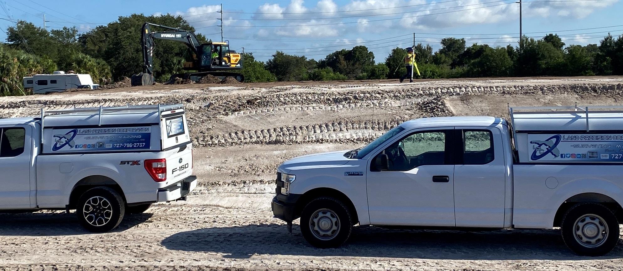
Land Precision offers services that are aimed at encompassing the specific needs of development, and engineering design.
We offer the following professional services:
Land Surveys:
While Boundary Surveys are predominately the surveys most often provided by Land Surveyors, LPC provides a greater variety of surveys. Focusing primarily on development and commercial projects, LPC offers the various surveys supporting both private and public projects that are needed for acquisition, land planning, design and development. These Surveys include:
Boundary Survey subject to Florida Standards of Practice (SOP)
Land Title Boundary Survey subject to American Land Title (ALTA/NSPS)
Topographic Survey
Right of Way Survey
Route Surveys
Asbuilt and Record Survey
Specific Purpose Survey
Eminent Domain Survey

Boundary Survey & Land Title Boundary Surveys:
The survey of lands both platted and non-platted. Vacant acreage and fully developed properties including agricultural, commercial, industrial and subdivision development. Our experienced professionals have performed land surveying for commercial property closings, sub-division housing developments, roadway projects, and multi-family developments throughout the state of Florida. LPC has performed land planning services for land developers as well as construction firms and our team produces base maps for preliminary layouts which become the basis for final design. Our base maps have been utilized for roadway alignments, transportation design projects, single and multi-family projects, business parks, and recreational complexes.
Topographic Surveys:
In addition to the Boundary Survey LPC provides more detailed surveys with topographic elevations, locations of trees and mapping of observable above ground evidence of utilities including drainage, water (potable and reclaimed), sewer, gas, and other utilities. The scope and detail of services are customized to the needs of the projects involving design and permitting. Engineers rely on our ability and experience to provide the critical and or necessary topographic information needed for civil design and permitting.
Right of Way and Route Survey:
When projects involved linear corridors and right of ways, LPC provides topographic mapping by creating a baseline with stationing. The mapping and sketch of survey will show the stationing and the topographic mapping in coordination with the stationing.
Asbuilt and Record Survey:
Development projects that involve permit requirements and or phasing often require survey services providing the asbuilt location of specific improvements that can be compared to design plan or continued design. These type surveys are prepared for building foundation locations (Tie-in Survey), utility asbuilts, roadways and parking facilities, bridges, airport run ways and taxiways, etc.
Specific Purpose Survey:
For projects that involve particular and specific needs and requirements, LPC offers specialized mapping and sketches. The need determines the scope. Often detail sketches are also involved. Sketch and Descriptions for Exhibits and other sketches specific to project needs.
Eminent Domain Survey:
For years LPC has offered and served the needs of landowners by providing surveying services needed to support the professional teams representing landowners in Eminent Domain Cases. These services include some or many of the various survey services. LPC also provides representation of the survey services and product by LPC and others as professional witness providing opinion.

In addition to the land survey services, LPC provides many other professional survey services including:
Platting:
Many development projects involve subdividing the property. LPC’s services include survey services required for Plat preparation and recording. This includes Residential Subdivisions and also Commercial Subdivisions and Commercial projects that do not involve subdivision.
Construction Staking and Layout Services:
For projects that involve construction development LPC provides the various staking and layout tasks to the needs of the client. This includes Commercial, Industrial and Civil Roadway and Bridge projects and layout for excavation, drainage and utility features. We also provide continued staking of the proposed locations of roadways, parking, curbing, walls and building layout.
Construction Plan Asbuilts (aka Survey Redline Asbuilts):
All development projects involving permits require asbuilt certification. The detail of which provides the project civil engineer the information needed to aid in project close out permit certifications.
LPC provides the various land survey locations and measurements in the form of Redline Site Plan Asbuilts that are site specific and may include mapping of any, or all of the following:
- Building locations and elevations
- Utility alignments
- Stormwater infrastructures and ponds
- Man made features
With state of the art technology and a staff filled with uncommon expertise, we will accelerate your project to completion. L.P.C. is a full-service professional surveying firm serving Hillsborough, Pinellas, Pasco, Manatee Counties and beyond with Professional Land Surveying Services.